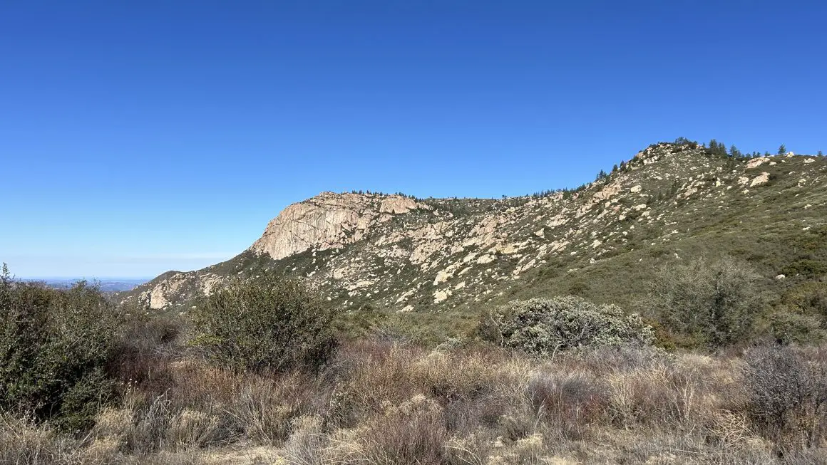
If you’re looking for a hike that genuinely earns its views, Palomar High Point is it. At 6,140 feet, it’s the highest point in the entire Palomar Ranger District of the Cleveland National Forest — and the route up via the Oak Grove Trail is one of those full-day adventures that you’ll be talking about for a while. We’re talking 13.8 miles, nearly 3,500 feet of elevation gain, a fire lookout tower at the summit, and views that stretch from the Pacific Ocean all the way to the San Jacinto Mountains.
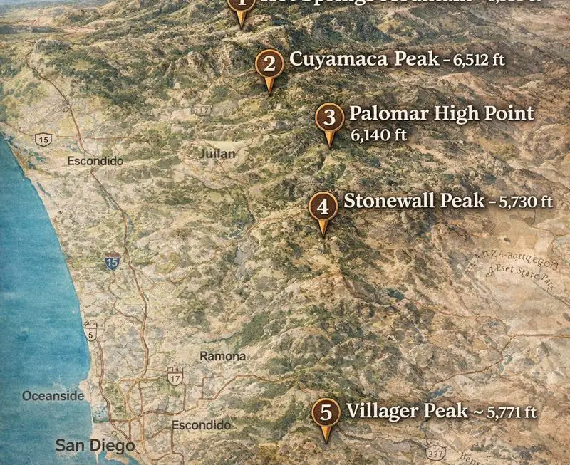
It’s also part of the San Diego Six-Pack of Peaks challenge, so if you’re working your way through that list — this one’s a big one. Not easy, not quick, but absolutely worth every step.
Here’s your full trail guide from the trailhead to the summit and back.
Table of Contents
 Trail Stats at a Glance
- Distance: ~13.8 miles out-and-back
- Elevation Gain: ~3,500 ft
- Summit Elevation: 6,140 ft
- Difficulty: Strenuous
- Time: 7–9 hours
- Dogs: Yes, allowed on the trail
- Permit Required: No permit, but an Adventure Pass is required for parking ($5/day or annual pass)
- Best Seasons: Fall, Winter, Spring
- Cell Service: Limited — download your map before you leave
Pro Move: Camp at Oak Grove Campground the Night Before
Here’s the thing about this hike — it’s long. Like, really long. Starting from San Diego and then driving an hour-plus to the trailhead before a 7–9 hour day on trail is a lot to ask of yourself. The smart play? Camp at Oak Grove Campground the night before.
Oak Grove Campground is literally right across Highway 79 from the trailhead. It’s a Cleveland National Forest campground with 58 sites spread across two loops — Oak and Ribbonwood — nestled in a mix of chaparral, canyon live oaks, and ribbonwood. It’s a no-frills basecamp setup: picnic tables, fire rings, drinking water, and restrooms (flush toilets in the Ribbonwood loop, vault toilets in the Oak loop). No showers, no hookups — but honestly, you’re here to hike, not glamour camp.
The payoff: you wake up 50 feet from the trailhead, hit the trail at first light, and have the whole mountain to yourself before anyone else shows up. On a winter morning with frost on the ground or fresh snow on the upper ridges, it’s a genuinely magical way to start a hike.
Campsites run $15–$30/night and reservations can be made up to 6 months in advance through Recreation.gov. Book ahead — weekends fill up.
Getting to Palomar High Point Trailhead
The Oak Grove Trailhead is located near the Oak Grove Fire Station on Highway 79, about 24 miles southeast of Temecula.
Parking: Display your Adventure Pass on your windshield. A daily pass costs $5 and annual passes are available — check the Cleveland National Forest website for nearby vendors.
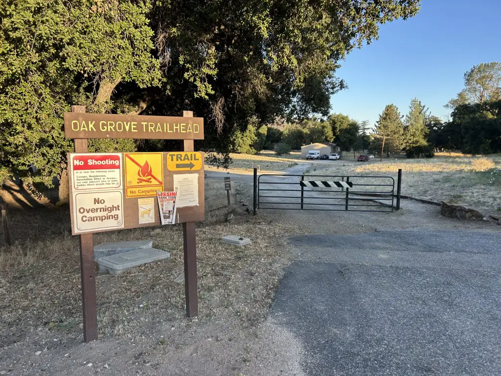
Finding the trailhead: The Oak Grove Trail sign is easy to miss — look for a waist-high post at the north end of the parking lot marked “Oak Grove Trail” with directional arrows. If you miss it you’ll know quickly, so just double back.
Best Time to Hike Palomar High Point
Let’s be real with each other here: winter is the move. I know that’s not always the instinct — most people think “summer = hiking season” — but on this particular trail, summer is genuinely miserable and winter is genuinely awesome. Here’s why:
Winter (December–February) — Highly Recommended: Temperatures are cool and comfortable, the chaparral is green after the rains, and the bugs are essentially nonexistent. And the big bonus? There’s a real chance of snow on the upper slopes — especially above 5,000 feet. Hiking through a dusting of snow with views all the way to the Pacific is one of those San Diego moments that feels almost surreal. Just layer up and watch for icy patches on the fire road sections near the summit.
Fall and Spring are also solid windows — fall especially for clear skies and that crisp mountain air. Spring brings wildflowers along the lower trail but also the beginning of bug season, so be aware.
Summer — Proceed with Caution (or Just Don’t): The lower section of this trail is fully exposed and cooks in the sun. Temps in the valley regularly hit the 90s, and the open fire road sections above have zero shade. Worse, mosquitoes can be absolutely brutal — especially in the oak grove sections near the creek. If you insist on doing this in summer, start before sunrise, bring bug spray, and pack more water than you think you need. We’re talking at minimum 3 liters per person.
Palomar Hight Point Trail Guide: Section by Section
Section 1: The Trailhead — Open Field & Finding Your Footing (0–0.6 miles)
The hike kicks off by following the Oak Grove Trail signs from that small post at the north end of the parking lot. The first thing you’ll notice is that the trail starts across an open, flat dirt area — almost feels like you’re walking through someone’s back field. It’s a bit disorienting at first. Don’t overthink it. Just follow the signs and the trail markers as the path works its way toward the edge of the valley.
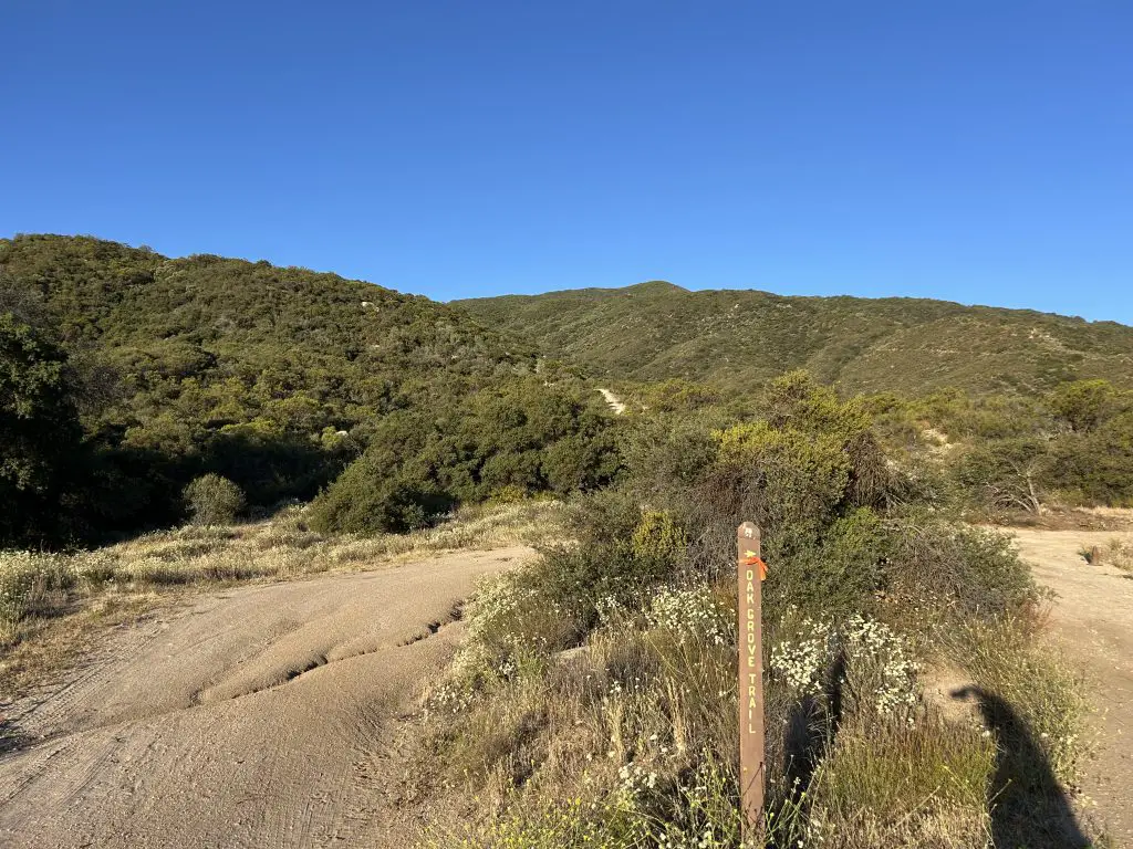
Within the first half mile, the character of the trail changes and you drop into the oak grove section — dense canyon live oaks, dappled morning light, and the sound of Temecula Creek nearby. It’s shaded, beautiful, and a very gentle warmup. Enjoy it. This is the flattest, easiest stretch of the entire hike, and things are about to change significantly.
Section 2: The Steep Climb — Oak Grove Trail Singletrack (0.6–2.5 miles)
At about 0.6 miles, the singletrack begins — and so does the real work. The next roughly 1.8 to 2 miles of the Oak Grove Trail is steep, relentless, and rocky. We’re talking a 20%+ grade on some stretches, eroded water channels cutting across the trail, and no shade on the upper portion as you climb into the sun.
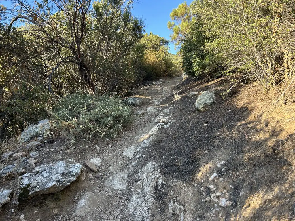
This is the crux of the whole hike. It gains approximately 1,500 feet in under 2 miles — your legs will know it. The switchbacks get shorter and tighter as you go, and the footing is uneven. Trekking poles are a genuine asset here, especially on the way back down when tired legs and loose rock are a bad combination.
The saving grace? About halfway up this section the views start opening up behind you — the Oak Grove Valley spreading out below, and on a clear day, the San Jacinto and San Gorgonio Mountains rising above the desert to the northeast. It’s a good excuse to stop, catch your breath, and remind yourself why you’re doing this.
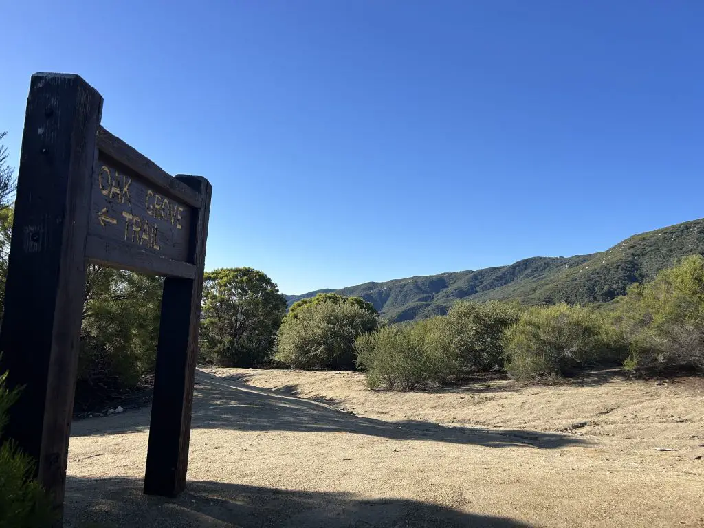
Push through to the junction with Oak Grove Road (the truck trail) at around the 2-mile mark. This is a real milestone — the worst of the climbing is behind you. Turn right onto the dirt road and feel your legs thank you for the change in grade.
Section 3: Oak Grove Road — The Long Gradual Grind (2.5–5 miles)
From the junction with Oak Grove Road, the character of the hike completely changes. You’re now on a broad dirt fire road with a much more manageable grade — steady uphill, but the kind your body can settle into rather than fight against. This section covers the next 2–3 miles as the road winds up the mountain through open, exposed chaparral.
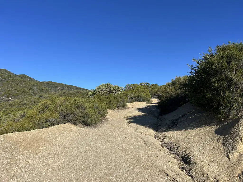
There’s not a lot of shade up here, which is exactly why summer is rough — you’re just out in it. In winter or fall though, this open exposure gives you endless views as you gain elevation. Watch for the Clark Valley and the high desert opening up to the east. You’re genuinely up in the mountains now.
At the 3.5-mile mark, you’ll hit a locked gate across the road. Go around it and continue on. Past the gate the road splits — go left, staying on Oak Grove Road. Note this junction well for the return trip so you don’t accidentally go right and add confusion to tired legs.
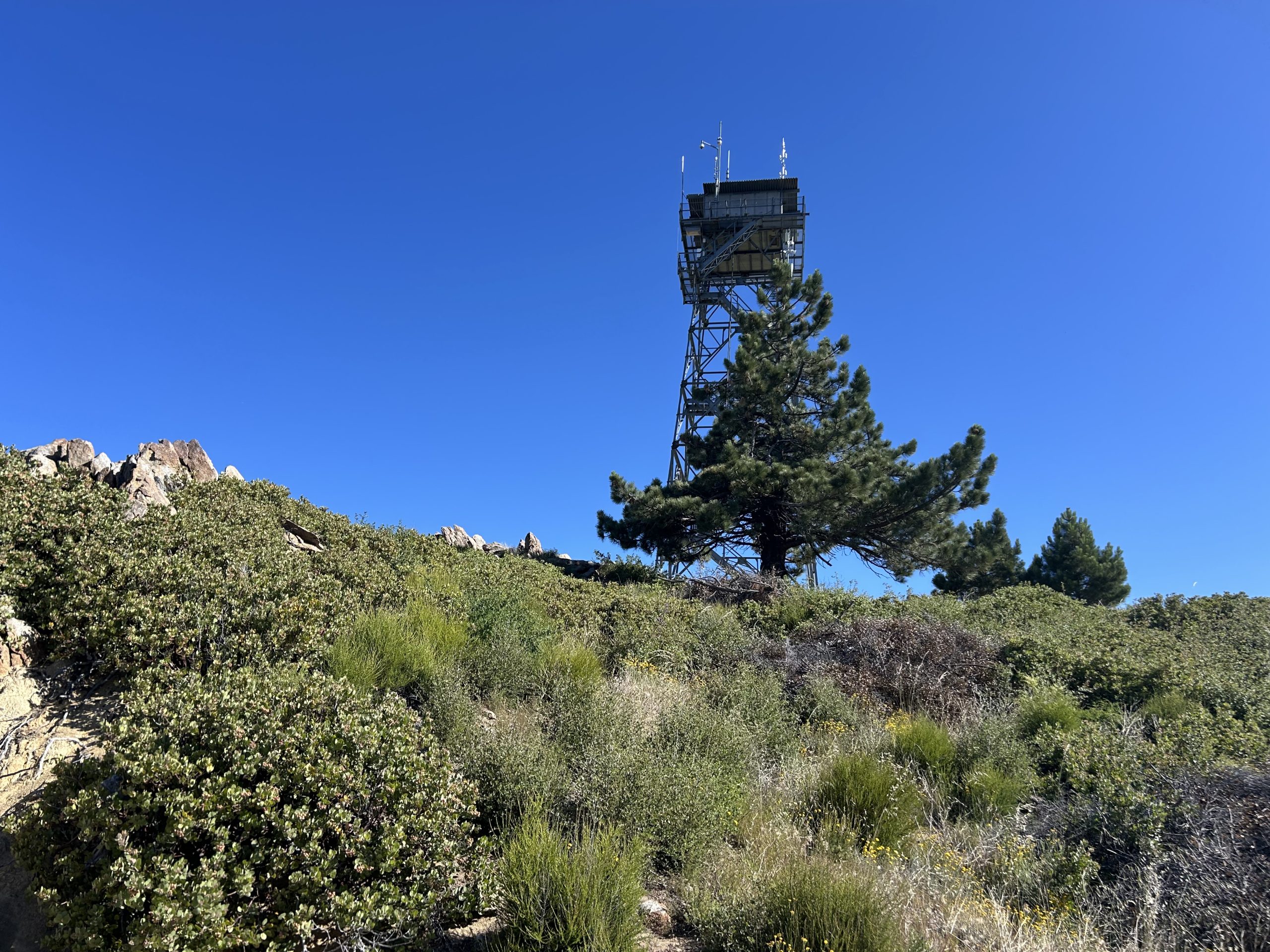
As Oak Grove Road curves, you may get your first glimpse of the Palomar High Point fire tower in the distance — perched up on the ridge ahead. That’s where you’re going. It’s farther than it looks, but it’s a good target to lock onto.
The grade stays steady until around the 5-mile mark, where the road starts to flatten out and bend to the right. The trees finally return — oaks start appearing, offering some welcome shade — as the trail arcs toward the summit area.
Section 4: The Summit Push — Winding Through the Canyon (5–6.9 miles)
This final stretch has a few turns to pay attention to. As the road levels and bends right, you’ll reach the junction with High Point Road — bear left here, continuing toward the summit. The fire tower will start appearing and disappearing as the road winds through the terrain.
Follow High Point Road as it twists south and crests a saddle with views down to Santa Rosa and Toro Peak to the south — a beautiful spot to pause. Just past the saddle, you’ll hit a junction. Turn right onto Palomar Divide Truck Trail and continue heading west.
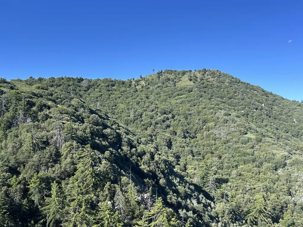
Here’s the tricky part that catches people: there will be a left fork that looks like it should go to the summit — don’t take it. You’re going to loop around the north side of the mountain first. Stay on the road, continue past the tempting left turn, and keep going until you reach a railing on the left side of the road. Make the hard left here and push uphill through a shaded, wooded section — this is a nice surprise after all the open exposure. If you hike this in the summer, this section actually had the worst mosquitoes when I did it. Fortunately, the breeze at the summit keeps most mosquitoes clear up there.
At the next split, bear left for the summit. Keep your eyes open to the right for a peek at the white domes of Palomar Observatory gleaming through the trees — you’re at their elevation now, which puts things in perspective.
The Summit — High Point Lookout (6,140 ft)
And then, just like that — you’re there.
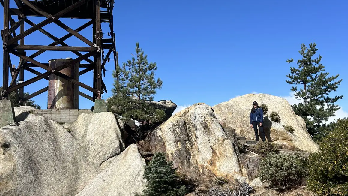
The summit of Palomar High Point is home to the High Point Lookout Tower, one of California’s tallest fire towers, actively staffed during fire season. The legend goes that from up here, a lookout once spotted a fire burning in Santa Barbara County — 200 miles away. On a clear day you can absolutely believe it.
The 360-degree views are the reward for everything your legs just went through: the Pacific Ocean to the west on a clear day, the full sweep of the San Jacinto and San Gorgonio Mountains to the north, Toro Peak and Santa Rosa Mountain to the east, and range after range of San Diego backcountry in every direction. In winter, if you’ve hit a clear day after a storm, the peaks above the Salton Sea may still have snow. It’s one of the best summit views in all of San Diego County.
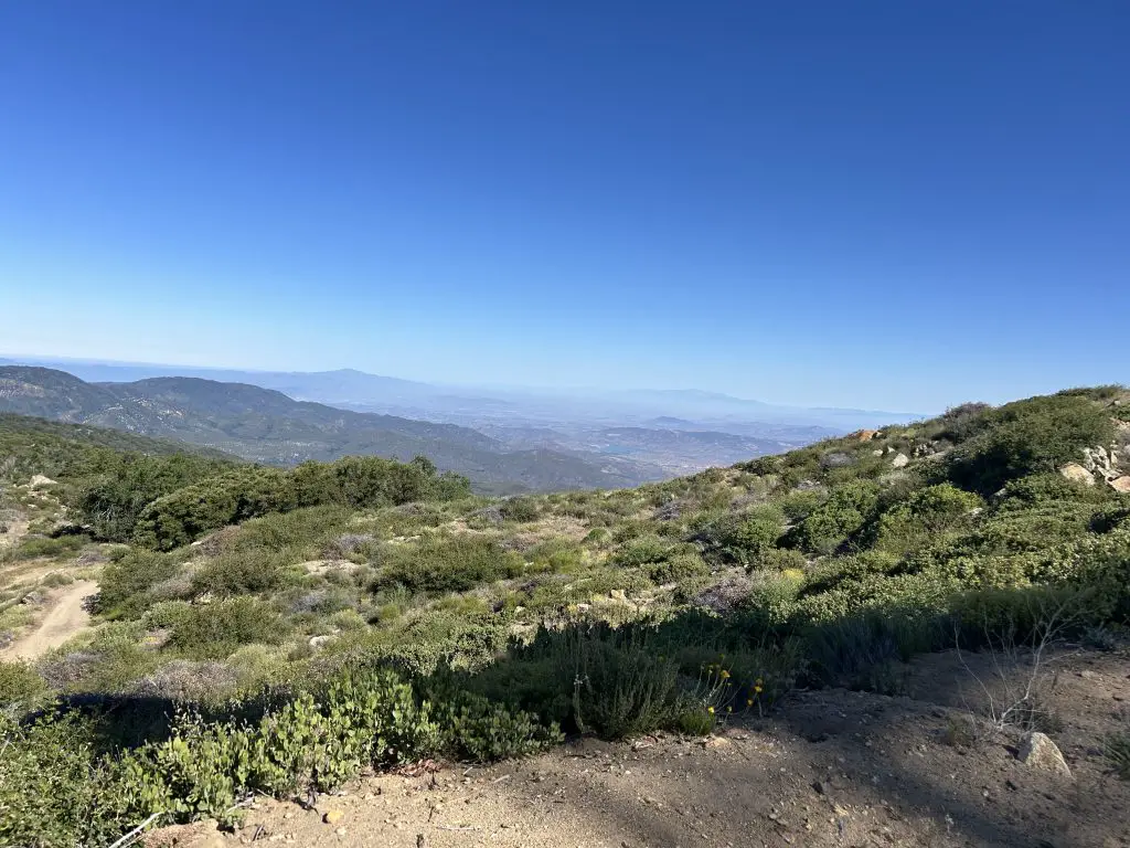
If the fire watcher is up in the tower, say hello — it’s a fun conversation and they know this mountain better than anyone. Find a spot to sit, eat your lunch, and soak it in before the long walk back down.
What to Know Before You Go
Water
There is no water on the trail. Bring at least 3 liters per person — more in warm weather. This is a long day and the exposed sections will drain you faster than you expect.
Gear
Trekking poles are highly recommended — particularly for the steep, rocky singletrack in the first two miles and the descent. Sturdy hiking boots with ankle support are a smart call given the rocky, eroded lower trail. In winter, layers are essential — the summit can be 20+ degrees colder than the trailhead.
Bugs
If you’re hiking in spring through early fall: bring bug spray. The oak grove sections near the creek can have gnats and mosquitoes that are seriously annoying, and in summer months they can be relentless. This is not an exaggeration. Winter hikers: you’re largely in the clear.
Snow & Winter Conditions
The upper sections of the trail above 5,000 feet can have snow and ice in winter, particularly on the fire road sections near the summit. Microspikes are worth throwing in your pack if there’s been recent precipitation. Check conditions before heading out — the Cleveland National Forest ranger station can be reached at 858-673-6180.
Dogs
Dogs are allowed on this trail. With the distance and elevation involved, make sure your pup is genuinely fit for a 14-mile mountain day and that you’re carrying extra water for them.
The Bottom Line on Hiking Palomar High Point
Palomar High Point via the Oak Grove Trail is a full-day commitment — but it’s the kind of hike that reminds you what San Diego’s backcountry is actually capable of. You start in the oak-lined valley at the base of the mountain, claw your way up one of the steeper sustained climbs in the county, and emerge at a summit with views that make the whole effort feel completely worth it.
Camp at Oak Grove the night before, start early, hike it in winter — and you might just have this whole mountain to yourself.
Explore the rest of the hikes in San Diego’s Six Pack of Peaks Challenge: El Cajon Mountain, Cuyamaca Peak, Hot Springs Mountain, Corte Madera, Volcan Mountain.